This information page allows you to access all information about the UVAR Box digitisation tool, as well as a user manual and a step-by-step video that explains the main features. In case you have further questions, feel free to contact the responsible person that is listed on the bottom of this page.
About the tool
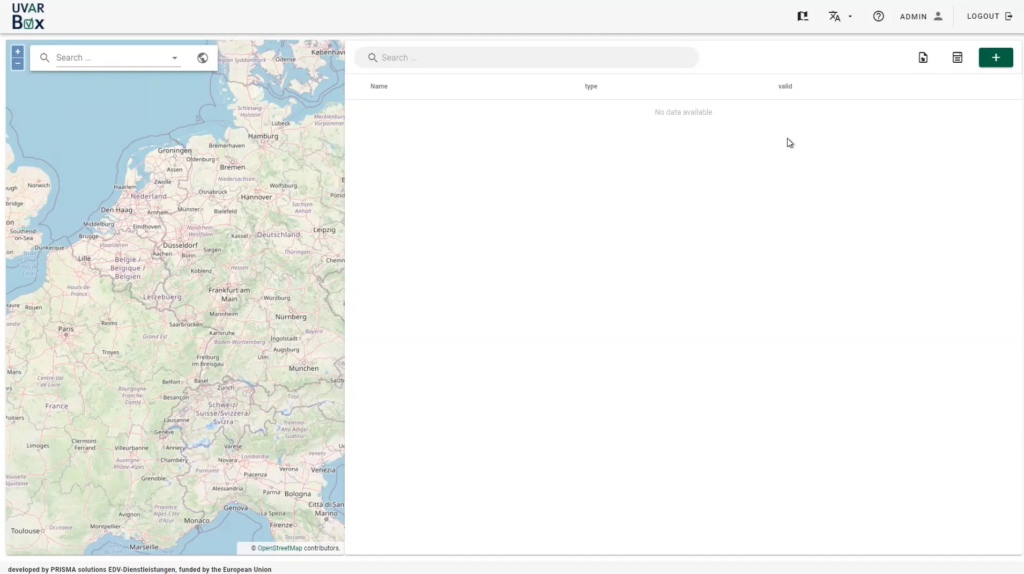
You can submit your UVAR data through the tool by clicking the button below. Three different types of data can be submitted:
- Submit fully digitised UVAR data
- Manually create an UVAR in the tool
- Manually adding an UVAR through the map feature
How to access the tool?
UVAR Box is currently creating an efficient structure for the account creation.
- Email the colleagues from Armis to create an account by clicking on the button ‘create account’
- Once your account is confirmed, click on ‘access tool here’
- Access our manual by clicking on the link below.

Access our manual here:
Step-by-step guide (Video)
There are three different ways of watching our instruction video:
- Full English video: click the play button.
- Access subtitles: click on the ‘cc’ button insight the video.
- Chapter marks: click on the ‘YouTube’ button to jump to chapter marks in the video description.
Q&A
You can access the answers by clicking on the preferred question below:
You can take a closer look at the consortium members on the partner page.
Country coaches can help you. Please access their contact details here.
Public authorities that are responsible UVARs, which are most often cities, regions or ministries, or potentially private companies that act on behalf of the city.
Digitisation Software providers may use the open source UVARBox Tool software or the underlying DATEX-II profile to enable cities to digitise their UVARs from within their software. Feel free to contact responsible project partners.
The tool makes it easier for cities, regions and ministries to digitise UVARs to enable them to be put into navigation tools is now available for cities, together with a video and manual to support its use. This is really important:
- More and more navigation service providers are asking cities for data; this tool enables cities to give the data once in a single format, rather than several times in different formats.
- If your UVAR is in the navigation tools that drivers use, there will be higher compliance rates and fewer complaints
- The UVARBox tool makes this process easy, with support for cities and regions from Country Coaches
- Digitising your UVAR is a win-win-win for your city and those wanting to drive into it.
The opendata Low Emission Zone data for the Netherlands can be found here: https://opendata.ndw.nu/milieuzones.xml.
Data for Austrian, Belgian, German and Italian LEZs too, as well as some other UVARs, will be available soon. In the meanwhile, the sample data that was available for the hackathon is available here.